As Trams to Newhaven nears completion, there’s been much discussion in print and social media about the design/implementation of streetscape features, particularly on Leith Walk. The City of Edinburgh Council’s present and previous transport convenors made it clear that there will be a thorough review and rectification process, consistent with the Edinburgh Street Design Guidance.
Most observations to date have focussed on the parallel cycle lanes, and to a lesser extent the pedestrian environment. EBUG has noted even fewer, if any, regarding bus infrastructure. So we carried out a limited ‘walkabout’ to highlight issues affecting bus users, in order to ensure these are not overlooked in the post-completion review.
In 2019, EBUG met Tram project team representatives to discuss designing for buses. It was clear that there was limited scope for changing the draft designs even then.
Scope
Two EBUG members walked the route from Picardy Place to the Balfour St tram stop on 22 November, covering both sides of Leith Walk. We photographed particular locations, and comment briefly in this dossier. We did not take extensive measurements, as we would for a Bus Stop Audit.
It was immediately clear that construction was insufficiently advanced for more than a cursory assessment. No bus stops comprised more than road markings. We therefore highlight some issues on this part of the route, for the ‘official’ review to consider. We noted some issues for pedestrians, bearing in mind that using buses involves walking. EBUG is not equipped to complete a street audit, so we forward this dossier to Living Streets Edinburgh Group for its interest.
The most relevant sections of the Edinburgh Street Design Guidance are sections PT1 Designing for Public Transport, PT2 Bus Stops, and PT3 Bus Priority. However, as noted above, no bus stops were sufficiently advanced to check compliance with PT1, PT2, and PT3.
This dossier will also be forwarded to Community Councils Together on Trams, for inclusion in either the Defects List or the Commitments Register as appropriate. As well as the Trams to Newhaven project team, it is also circulated to members of the Council’s Transport and Environment Committee and ward councillors on the route.
Interchange
A key issue is future interaction between buses and trams. For the public transport user the two modes must provide a seamless service. As an exercise in ‘integrated transport’, they should be planned as a whole from the outset.
However, it appears to EBUG the focus has been on getting Trams to Newhaven built. Given the trams project’s previous history this is understandable. But we are concerned this will lead to a situation where, a few months before completion, interchange with buses is rushed, and inadequate outcomes result.
Specifically, we see no indication of:
- planning for future bus routes
- where, if at all, bus/tram passengers will interchange; and how.
The Final Business Case for Trams to Newhaven indicates a reduction of nearly 50% of buses/hr at the north end of Leith Walk, whilst Balfour St to the north end of Leith Walk will be a single lane for all general traffic, buses and tram, 24 hours/day; signal-controlled, releasing trams and road traffic separately. There will be tram stops at Picardy Place, McDonald Rd, Balfour St and Foot of the Walk, with trams every 6-7 minutes, possibly higher in peak hours.
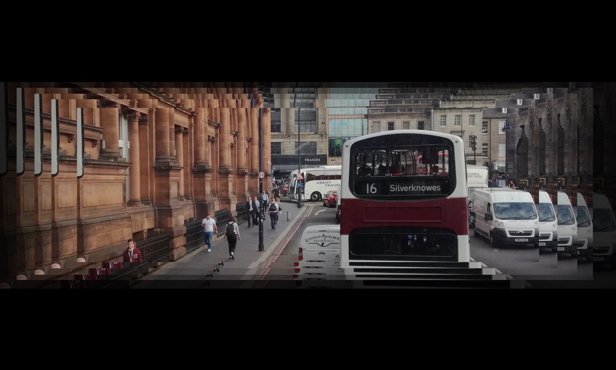
There were previously seven bus routes on Leith Walk: 7, 10, 14, 16, 22, 25 and 49, totalling around 50 buses/hr each way (7 routes through Leith Walk at an average interval of 8 minutes at peak).
Clearly the main/only node suitable for interchange is at the Foot the Walk tram stop. This is approx. 25m from the relevant junction. The nearest bus stops are a further 95m along Great Junction St, or 115m along Duke St. These are unsuitable distances for interchange, even before considering whether the walking routes themselves are acceptable. Therefore, one or both of the streets need bus stops considerably closer to the junction.

The map illustrates why. Buses and trams run alongside each other on Leith Walk, so there is no need or desire to change from one to the other except at the top or foot of Leith Walk. The only exception is the few buses which turn to/from Pilrig St (see below).
Picardy Place
This is unsuitable for bus-tram interchange. Buses going to/from York Pl stop outside St Marys Cathedral (westbound) or York Pl (eastbound). The eastbound bus stop is essentially unchanged from pre-tram, requiring at least 2 roads to be crossed to get to the tram stop. The westbound stop requires 1 road crossing. Picardy Pl is the subject of a public realm project, but we cannot see how these inherent problems can be overcome.
It might have been possible to design an interchange between the tram stop and buses going to or from Leith St, but the bus stops are now ‘hard-baked’ at locations that are a) too far from the tram b) require negotiating a decidedly unfriendly set of crossings around the Leith St-Picardy Pl junction.
Leith Walk
It appears that the bus stops at Elm Row are being reinstated, but it is too early to assess them. (The drain visible in the centre of the picture is already settling)

There are no bus stops between Elm Row and Shrubhill; the McDonald Rd tram stop is between them, illustrating the earlier point that neither is a practical interchange for buses using Pilrig St. The stops at Shrubhill and the next, north of Pilrig St, are too early to assess.


After ‘turning’ at Balfour St, the survey was completed in the city centre-bound direction. The pattern established above was repeated, as shown here.

Some general issues
EBUG has significant reservations about floating bus stops, which are common on Leith Walk. At these sites, it was clearly to our surveyors that the space available for pedestrians/bus users was particularly limited. In the two worst cases, the ‘platforms’ were just 1.6m and 1.8m wide; we found it difficult to envisage how even a shelter could be installed there.
The ‘feel’ is also important. Whilst subjective and unmeasurable, our surveyors considered the footway and bus stops uncongenial and mildly stressful; not an ‘attractive’ environment.
EBUG understands that bespoke bus shelters are to be installed on the new tram route. If/where these are based on the current JCDecaux designs, the opportunity must be taken to remedy their inherent design flaws, which have been widely criticised. https://twitter.com/EdinburghBUG/status/1469957798876307456
‘Pedestrian issues’
EBUG brings to the attention of Living Streets Edinburgh in particular the placement of signs maximising street clutter. We cannot understand why these are not placed in the ‘dead zone’ between the kerb and cycle path, behind our surveyor. (It was suggested that may be difficult for drivers to read; but the overall impression is a lack of thought. We discounted ‘swept path’ or ‘kinematic envelope’ explanations, given road geometry and vehicle speeds)


The two photos immediately below show a sign placed mid-footway; its sole purpose is to indicate no right turn by vehicles exiting a private garage. The photo below them shows a no left turn sign into a road which has a ‘no entry’ sign (with physical measures).


The ‘no stopping except buses’ sign below could and should be placed on the pole or shelter of the stops to which it relates; standard practice elsewhere in Edinburgh.

The plethora of poles and signs below indicate a lack of thought as to how signs could be grouped together to minimise clutter. In the right-hand photo in particular, it is difficult to understand why the pole, if it is necessary, was not placed in the ‘dead zone’ behind the red sign.


Summary
EBUG’s short ‘walkabout’ on the south end of Leith Walk showed that bus stops are insufficiently advanced to be robustly assessed, in particular for compatibility with Edinburgh Street Design Guidance sections PT1, PT2, and PT3.
We have seen no indication of planning for integration between bus and tram, even though tram operations are due to start within a year. We concluded, nevertheless, that the only viable interchange along the Leith Walk corridor is at the foot of the Walk, where four bus/tram corridors converge. In order to make that location work for users, significant work is needed on-street.
We note local concern regarding the adequacy of the bespoke bus shelters which are to be installed, and delays in supply of the relevant kit.
Although it was not an objective of this exercise, we noted numerous installations which appear ‘pedestrian-unfriendly’ had been installed by the tram project.