-
Introduction
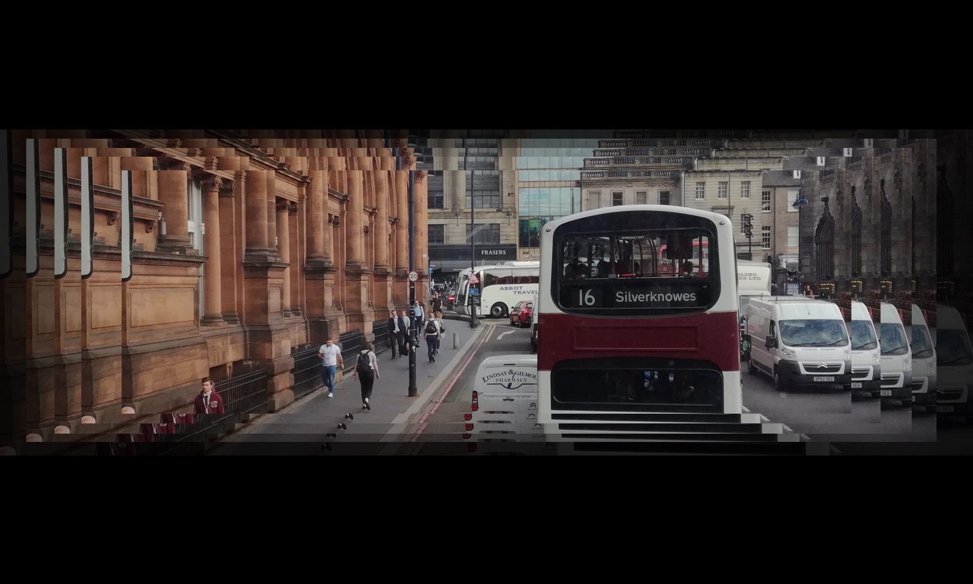
In the context of ongoing concerns about the variable quality of design, location and/or maintenance of bus stops across Edinburgh, Edinburgh Bus Users Group (EBUG) undertook a pilot ‘audit’ of a busy city corridor.
The audit was undertaken by four EBUG Committee members on the morning of Friday 22 October, between Haymarket and Ardmillan Terrace, including also Henderson Terrace, comprising 11 stops (6 ‘outbound’ and 5 ‘city-bound’). 8 criteria were assessed for each stop, encompassing location, pavement widths (in relation to the Edinburgh Street Design Guidance, see Appendix 1), shelter condition, signage and line marking etc.
An additional aim of the exercise was to take the opportunity to re-evaluate EBUG’s audit template itself, and amend or add any further criteria that seemed relevant and that would be useful for future audits.
We have not incorporated within this report our generic findings on the design of the JC Decaux bus shelters, which we view as being driven by advertising and financial considerations rather than by bus user comfort and convenience.
2. Summary of findings
 The audit findings for each individual stop are discussed in Section 3 (and set out in more detail in Appendix 2), while the main overall findings are summarized below.
Two of the criteria on our original template were not relevant to the particular stretch of road we inspected, as there were no floating bus stops and no bus stops requiring a ‘bus boarder’, and there were no bus lanes.
Although there were no bus lanes on the stretch of road we inspected, the entire stretch was covered by the A70 ‘Greenway’ which, in practice, aims to serve similar functions (eg. no stopping, no parking etc.)[1]
2.1 Bus Stops
There were 8 relevant criteria measured.
Most or all of the stops rated well on only three of the eight relevant criteria:
- All 11 stops were more or less suitably located in relation to their surroundings and relevant access points for pedestrians, crossings, traffic (although there were significant differences in the distances between the stops – maximum 465m, minimum 160m).
- Except one, while we were observing, all yellow lined stops were clear of (illegally) parked vehicles or other obstructions, (This is obviously something that can change throughout the day.)
- All 11 stops were clearly marked with ‘bus stop clearway’ signs (and/or a ‘No Stopping’ ‘Greenway’ sign) although there were no bus lanes as such on this stretch.
A significant proportion of the stops rated only reasonably well on three more of the eight criteria:
- Bus shelters and associated facilities: -There was no shelter at all at three stops. At four other stops, the shelter and associated facilities were not in good condition (3), or were otherwise (1) unsuitable for purpose. Only four out of the eleven stops had good shelters (2 of these were JC Decaux stops, which are regularly cleaned and maintained as part of the contract with the Council), the others were poorly maintained.
- Of the 11 applicable stops, 6 had clutter-free surrounding pavements. Pavements at 2 stops were somewhat cluttered, while 3 stops were very cluttered.
- Overall, there were sufficient red and yellow lining and ‘upstream’ parking restrictions to allow double-door buses to draw in parallel to the kerb at the bus stop flag in 7 of the 11 applicable (Although a lot depends on driver skill and good judgement here, e.g. sometimes it is safer to over or under shoot the bus stop flag because of surrounding clutter e.g. bus tracker pole, lamp post, litter bin etc.) In the other four cases, there were: obstructions caused by lorries loading in a bay positioned too close to the bus stop -or, in two cases, to bus stop flags that were ill-located within the yellow lined bus stop space.
In the case of the final two of the eight criteria, a significant proportion (half or more than half) of the stops did NOT rate well:
- Painted lining: There was clear and well-maintained yellow and red lining at only 4 of the 11 applicable stops (happily, at the busiest stops). At the other 7 stops, the line painting varied from ‘worn’ to ‘very worn’/’almost invisible’.
- Pavement width: We measured pavement width and the ‘Clear Walking Zone’ (CWZ) at all stops and found that most stops were not compliant with Edinburgh Street Design Guidelines. Only four out of the 11 stops offered the preferred 3m width, and access at one of those was spoiled by a disproportionate amount of additional street clutter. Seven of the 11 stops offered 2m or less. The narrowest CWZs measured were 1.14m, 1.19m, 1.3m, 1.54m).
2.2 General Comments
This type of ‘audit’ raises some general observations:
There is currently apparently no fixed benchmark or ‘standard’ to which bus stops are expected to conform, therefore evaluating stops becomes something of a ‘value judgement’ where stops can be seen as ‘relatively’ good or poor. The basic requirement is for a pole, with a bus stop flag, and for visible yellow line marking on the road. Anything else is ‘extra’. It seems reasonable to expect a weatherproof bus shelter with seating. Other desirable facilities would include a tracker providing real time bus arrival information. Beyond that, opinions are divided, for example, some people definitely always want a litter bin, while others might judge bins as ‘clutter’.
There are different kinds of bus stops. Some – like those at the bottom of Dalry Road, nearest to Haymarket Station and tram stop – are extremely busy ‘interchange hubs’, and, judging by the timetables attached, might accommodate 30 buses per hour stopping, including not only Lothian buses but also buses from other operators. This has implications for both passengers and traffic. Where buses ‘pile up’ behind each other they essentially impede each other’s stopping and loading. Large numbers of passengers (and other passing pedestrians) need maximum pavement width and Clear Walking Zone width, and minimum pavement clutter. Passengers also need highly visible bus tracker information systems, otherwise queuing chaos can ensue and alighting and boarding can be further slowed.
Other bus stops on the same route, such as those up near Ardmillan Terrace, involve far less passenger traffic and therefore can function adequately even with narrower pavements and less than optimal placement of information trackers, litter bins etc.
Bus stops may be ‘well located’ in terms of their own immediate surroundings, and perceived pedestrian need in that context, but may not be well-distributed in relation to each other. For example, the distance between the stop at the bottom of Dalry Road (Haymarket), and the next stop outward bound stop (Caledonian Village West), is 465m. That is further than the maximum recommended distance between stops (i.e. 400m) and if for any reason that stop had to be closed temporarily, would necessitate a walk of 625m to the next west bound stop. There is a discrepancy of 115m between the west bound and the east bound stops; the inbound stop at Caledonian Village East is a much more appropriate 250m from the Haymarket stop.
3. Stop-by-stop findings
(From here on, click any image to see it full-size in a new window or tab.)
3.1 West/Outbound, foot of Dalry Road at Haymarket
Conveniently located near Haymarket train station and the Haymarket tram stop, there are two bus stops very close together at the bottom of Dalry Road, making this a particularly busy ‘hub’.
The two stops are separated, but share a single double length painted ‘Bus Stop’ (which is not long enough for the large number of buses needing to stop here). The traffic lights at the junction do not seem to be coordinated so that they still let traffic through when buses are queuing at the two stops and tailing back to the junction itself.
Both stops are currently hemmed in by a very high and solid barrier that separates the pavement from a major building site behind them (presumably ultimately a temporary barrier, yet still long term), which means that at busy times there is not nearly enough room for a bus queue and for pedestrians to walk past the bus stops without stepping into the roadway. It is the absolute opposite of ‘Spaces for People’!)

3.1.1 Outbound / Haymarket West / ID HF 247930
Access to this very busy bus stop is currently severely restricted by building works, both on the road side and behind it on the pavement side.
The stop itself is in relatively good (but not perfect) condition. At the widest point, pavement width is 2.83m but the Clear Walking Zone is only 1.92m.
There has clearly not been communication/ coordination with the developers/builders, in order to minimise the negative impact of the builders on bus passengers.

3.1.2 Outbound / Haymarket West 2 / ID HG 247940
This stop is well marked but the information tracker and the bus stop flag ‘block’ each other, hindering visibility from several angles. There is some graffiti on the bus shelter. The pavement seems to be in ‘rapidly patched’ poor condition. The widest part of pavement is 3.3m with a CWZ of 2.35m
 |
 |
3.2 Outbound / Caledonian Village West/ / ID 247950
This next stop is a long way from Haymarket (465m). leaving a long gap in a very busy shopping area. There ought to be another stop more or less half way between Haymarket and here.
 |
 |
 |
The line markings at this busy stop are very worn. The marked stop is difficult to see, seems too short, and has a loading bay at each end of it, which makes it difficult for the driver to negotiate into and out from the kerb at the right spot (See photo showing a lorry loading at either end of the marked stop). The bus shelter is dirty and graffitied, and there is no seating. The pavement width is 2.51m at the widest point, but the CWZ only 1.8m.
3.3 Outbound / Dalry Primary School / ID 247960
This stop near Lidl supermarket was good overall, although the yellow bus stop line markings were extremely worn (almost non-existent). The pavement was wide and uncluttered (although the CWZ was reduced to 2.03m by the positioning of the shelter) and the shelter was a JC Decaux one, therefore clean and well maintained (though with all the usual JC Decaux ‘known problems’ of inadequate protection from wind and rain, cold hard seating etc.).
 |
 |
 |
3.4 Outbound / Murieston Crescent / ID 247970
This stop was possibly the most basic of those inspected. There was no shelter, no seating, no tracker, and a damaged display casing and no information displayed on the bus stop pole. Both the yellow bus stop line markings and the red No Stopping line markings were very worn and almost invisible (although there was some red tarmac residue of the Greenway still visible). The bus stop flag was somewhat obscured from approaching traffic by overhanging tree branches and by being positioned very far back from the road. The pavement width overall was only 1.3m at maximum.
 |
 |
Before turning round at the junction with Ardmillan Terrace, and heading back into town, we took a little detour into Henderson Terrace, where the No. 1 bus crosses from Fountainbridge/Dundee Street into Gorgie/Dalry.
3.5 Outbound / Henderson Terrace/ ID 247980
There was no shelter and no seating and no tracker at this bus stop, although the pavement at this spot opened briefly into a relatively wide space (4.3m). This space was however, cluttered with communal bins, left over Council roadworks signs and variegated rubbish. The yellow bus stop line markings were pretty worn, although the red No Stopping markings were clear.
 |
 |
3.6 Inbound / Henderson Terrace / ID 201980
The bus shelter at this stop was very dirty and graffitied. It did not feel a safe place as it was very enclosed, between the road and a high wall, taking up almost the whole pavement on a narrow stretch (maximum width 2.08 reduced to 1.14 CWZ). The nearby pavement area was further cluttered with power boxes. This is one place where no shelter might be a preferable option. The yellow bus stop line markings were extremely worn if indeed they existed at all?
 |
 |
At this point, we turned back into Dalry Road and returned down the inward, city bound east side towards Haymarket.
3.7 Inbound / Murieston Crescent East / ID 201990
The pavement here is fairly wide (2.85m) and uncluttered but there is no shelter at this stop and no tracker (but up to date paper based timetable information displayed on the pole). The yellow line markings are very worn. The stop is located half way between two pedestrian crossings, but the pole & flag are not positioned in the middle of the bus stop space.
 |
 |
3.8 Inbound / Dalry Primary School / ID 20200
The pavement is amply wide here, the line markings are clear, and the stop and shelter are in good condition, however the area around the stop is cluttered, which might make queuing difficult at busy times. There is a bus tracker pole that is placed too far from the kerb, in the middle of the pavement, and there is also the Greenway sign pole, an electricity box and a litter bin, plus some uneven and wobbly paving stones.
We thought the bus stop was well located but the shelter and flag might be better positioned within it, slightly nearer to the school and to the crossing for shoppers, and further from the road traffic island. On our visit, illegally parked cars were obstructing the stop somewhat.
 |
 |
3.9 Inbound / Caledonian Village East / ID 202010
This busy stop is a peculiar mixture of good and bad. The JC Decaux shelter is clean and well maintained and there is plenty of room around it as the pavement is exceptionally wide here. However the yellow line markings are worn and the bus stop space is short.
This stop is located in an odd position; on an artificially widened pavement sticking out into the road, and sort of sandwiched in in a curve in the road beside a very generous parking / loading bay (possibly needed by the shop there which sells mobility equipment for disabled people), We thought the wide curved pavement could be ‘shaved’ to make it easier for the bus driver to draw into the kerb.
 |
 |
3.10 Inbound / Haymarket East / ID HA 202020
This stop has clear markings and a tracker and a bin. The shelter is reasonable albeit slightly graffitied. The pavement (2.75m) narrows to just 1.19m Clear Walking Zone at the stop. There is an element of ‘serial clutter’ along the pavement to the stop (2 electrical boxes, a giant parking spaces road sign, bin, and the paving around the stop generally and inside the shelter is in poor condition.
 |
 |
4 Conclusions and Recommendations
4.1 Conclusions
We found that this stretch of road was relatively busy even though we visited at a quiet time of day. We saw a few instances of illegal parking/loading on double red/yellow bus stop lines, but buses were progressing very smoothly overall.
The signage and marking of the residual Greenway is inconsistent and potentially confusing for drivers.
The distance between bus stops is acceptable in all cases except one, where it is so large as to be almost a ‘missing’ bus stop.
In general, bus stops with no shelter or seating facility are unacceptable on a busy bus corridor, however we recognized that the pavement in one or two spots on this route is too narrow to accommodate these.
4.2 Recommendations
- Instigate an immediate programme of refreshing the yellow painted line markings at all the bus stops on this route.
- Establish a bench mark or ‘design standard’ for all bus stops.(This might have two levels, e.g. for busy hubs, and for less busy stops). This should include a weatherproof shelter and seating, removal of clutter, and real time information service. In future it might aspire to Wifi (at least for busy hubs)
- Review the spacing between Haymarket West and Caledonian Village West bus tops to ensure convenient access and consideration of elderly and disabled passengers.
- Review and update policy and practice on ‘Greenways’.
Appendix 1: Edinburgh Street Design Guidance on pavement widths
Pavement and ‘Clear Walking Zone’ (CWZ) width measurements were assessed against the City Council’s Edinburgh Street Design Guidance (SDG), which provides for the following CWZ width at bus stops:
- 3m – preferred on busy routes
- 2m – preferred
- 1m – absolute minimum, exceptionally allowed.
On pavements around but not immediately at bus stops, this SDG guidance applies:
| Street name | Street type | ‘Absolute minimum’ width | ‘General minimum’ width | ‘Desirable minimum’ width |
| Service sector employment | 2m* | 3m | 5m or wider | |
| Retail / high streets | 2.5m* | 3m | 4m or wider | |
| Service sector employment | 2m* | 3m | 5m or wider | |
| Retail / high streets | 2.5m* | 3m | 4m or wider |
[1] Greenways elsewhere in the UK mean something quite different. In Edinburgh the term refers to a bus priority measure first introduced in the 1990s with the aim of speeding up bus journey times for the benefit of passengers, encouraging public transport use, reducing traffic congestion, cutting pollution etc. In practice, defining Edinburgh Greenways is now rather difficult as it has been subsumed within other traffic measures e.g. loading bays, new signage, cycle routes etc. Although when first introduced, the scheme included bus lanes painted fully in green, this has since faded away. Greenways can now only be identified by double RED (No Stopping) lines, and a small free standing yellow sign sometimes, but not always, near bus stops.